

The conference was held under the auspices of the President of the Republic of Croatia, Kolinda Grabar-Kitarović. It was opened by an envoy on behalf of the Office of the President, Counsel of Defense and National Security, Mr. Vlado Galić who in his opening speech emphasized that, due to its core value, all economic branches and scientific institutions as well as individuals have need for spatial data and that management, exchange and use of spatial data present one of the basis for the development of society.
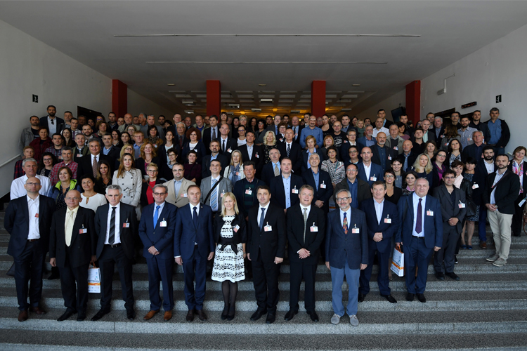
In the introductory part of the conference, welcoming speeches for 250 participants were given by the Head of the Sector for Spatial Data Infrastructure of the State Geodetic Administration, Ljerka Marić, MS.c., President of the Croatian Cartographic Society and President of the Organizing Committee of the Conference prof. emer. Miljenko Lapaine, PhD, Dean of the Faculty of Geodesy prof. Damir Medak, PhD, Secretary General of the International Cartographic Association prof. Laszlo Zentai, PhD, and Director of State Geodetic Administration Damir Šantek, PhD.
After the opening part, a forum was held and moderated by Tomislav Ciceli, M.Sc., Head of the NSDI Division. The participants of the forum were: Ms. Jarmila Pezo, Chairman of the Board IGEA, IN2, Ms. Ljerka Marić, M.Sc., Head of the Spatial Data Infrastructure Sector of the State Geodetic Administration, Mr. Božo Zeba, from the Central State Office for the Development of the Digital Society, Mr. Mladen Majcen from the Agency for Payments in Agriculture, Fisheries and Rural Development, Mr. Vlado Cetl from the Joint Research Center of the European Commission and Mr. Damir Šantek, PhD, director of the State Geodetic Administration.
The director of the State Geodetic Administration emphasized the positive steps taken by the State Geodetic Administration in order to fulfill the requirements of the INSPIRE directive and its implementation in the Republic of Croatia. The common conclusion of all participants is that there is certainly room for progress in NSDI, and that by the year 2021, all NSDI stakeholders will have to work hard to implement the INSPIRE Directive, with the emphasis on data harmonization and development of network services.
After the forum, Ms. Ljerka Marić, M.Sc., and prof. Željko Bačić, PhD, from the Faculty of Geodesy received a Certificate of Acknowledgement for contributions to the development of the National Spatial Data Infrastructure in the Republic of Croatia delivered by the Director of the State Geodetic Administration Mr. Damir Šantek, PhD.
The second part of the conference was organized in two lecture sessions. The first session started with the presentation on the annual monitoring of the spatial data reported in the NSDI given by Ms. Iva Gašparović. The second presentation was about the core business of the Working Group on Technical Standards presented by Head of this working group, Mr. Dragan Divjak, M.Sc. The third presentation in this session gave an overview of BESTSDI project experience given by prof. Željko Bačić, M.Sc. In the second session, which was interesting for atypical NSDI topics, we could hear some interesting things about the virtual reality in the presentation given by Mr. Turković from IGEA and about OpenStreetMap in Mr. Bognera's lecture.
The next day, 14th International Conference on Geoinformation and Cartography was held covering topics from the domain of NSDI and geographic names.
Conference was co-financed by the European Social Fund.
All presentations are available at the following link as well as on the web page dedicated to the conference.