
Spatial Data Infrastructure Days 2026 Held in Šibenik
The Spatial Data Infrastructure Days 2026, organized by the State Geodetic Administration, were held on May 27 and 28, 2026 in Šibenik. The two-day event brought together a wide range of stakeholders with the aim of further developing the National Spatial Data Infrastructure (NSDI) in the Republic of Croatia.
The SDI Days were opened by Antonio Šustić, General Director of the State Geodetic Administration and President of the NSDI Council, who emphasized that the main objective of the NSDI is to make spatial data under the jurisdiction of the public sector easily and simply accessible and interoperable, enabling collected data to be efficiently reused. “Due to its fundamental value, spatial data is necessary across almost all economic sectors and scientific disciplines. Therefore, the management, exchange, and use of spatial data represent one of the foundations of societal development,” he added.
Speaking about the importance of education and knowledge exchange, he highlighted that the need for additional capacity building in the field of spatial data still exists. “The State Geodetic Administration will conitinuously provide support to all NSDI subjects through training and professional assistance to help them meet NSDI requirements and keep pace with trends and objectives arising from European legislation.”
The opening address also highlighted the continuous growth in the number of subjects and data sources available through the NSDI Geoportal. The Geoportal currently records a total of 166 active subjects, while the number of spatial data sources has reached 1,302, including 620 network services. “These numbers are even higher in the NSDI registers; however, the registers serve as initial records of stakeholders and data sources. After the registration in the registers, the requirements of the NIPP are followed in order for the sources to be available through the NSDI Geoportal,” Director General Šustić explained.
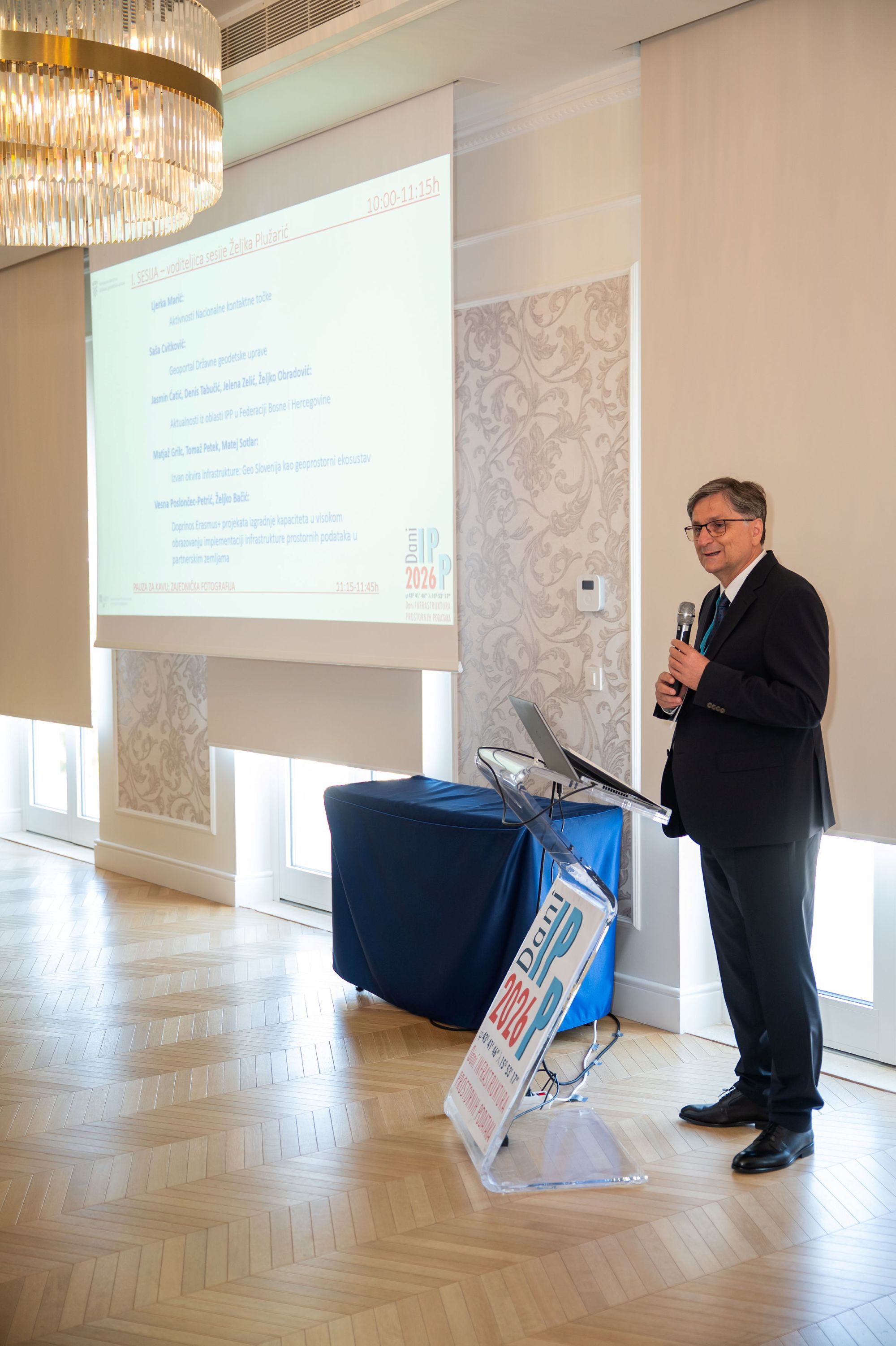
The first day of the event focused on high-value datasets within the NSDI. As part of the 46th NSDI Workshop, participants were introduced to the Open Data Directive and the Implementing Regulation on High-Value Datasets, provided with an overview of high-value datasets within the NSDI, and informed about the role of the Open Data Portal in the publication and reuse of data. The workshop aimed to familiarize NSDI subjects with the new obligations arising from European legislation, particularly regarding the publication and availability of high-value spatial datasets.
On the second day the 15th NSDI and INSPIRE Day was held, focusing on the professional, technical, and operational dimensions of spatial data, with particular emphasis on spatial data infrastructure, interoperability and standardization, the development of network services and digital platforms, and data management throughout the entire data lifecycle. Special attention was given to the establishment, development, and maintenance of the National Spatial Data Infrastructure of the Republic of Croatia, which enables cross-sectoral and interinstitutional data exchange and supports efficient and informed decision-making in all areas where spatial data are of critical importance.
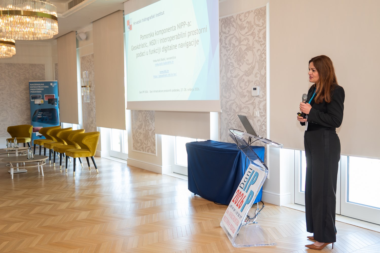
An invited lecture entitled “The Maritime Component of the NSDI: GeoAdriatic, MSDI and Interoperable Spatial Data in Support of Digital Navigation” was delivered by Vinka Kolić Bubić, Director of the Croatian Hydrographic Institute. The lecture provided an overview of the maritime component of the NSDI and presented the Croatian Marine Information Portal GeoAdriatic, the Marine Spatial Data Infrastructure, and interoperable spatial data supporting digital navigation.
As part of the 15th NSDI and INSPIRE Day, a panel discussion entitled “The Next Generation of INSPIRE” was held, focusing on the impact of the announced amendments and simplification of European legislation on the future development of the NSDI. The panel participants included Miljenko Hajnić, Head of the Sector for Interoperability and Data Management at the Ministry of Justice, Public Administration and Digital Transformation; Darko Boto, Senior GIS Consultant at IGEA; Marko Turković, System Architect at VEROX; and Branimir Pavlinec, Head of the Environmental Sector at the Ministry of Environmental Protection and Green Transition. The discussion was moderated by Tomislav Ciceli, Head of the National Spatial Data Infrastructure Service at the State Geodetic Administration.

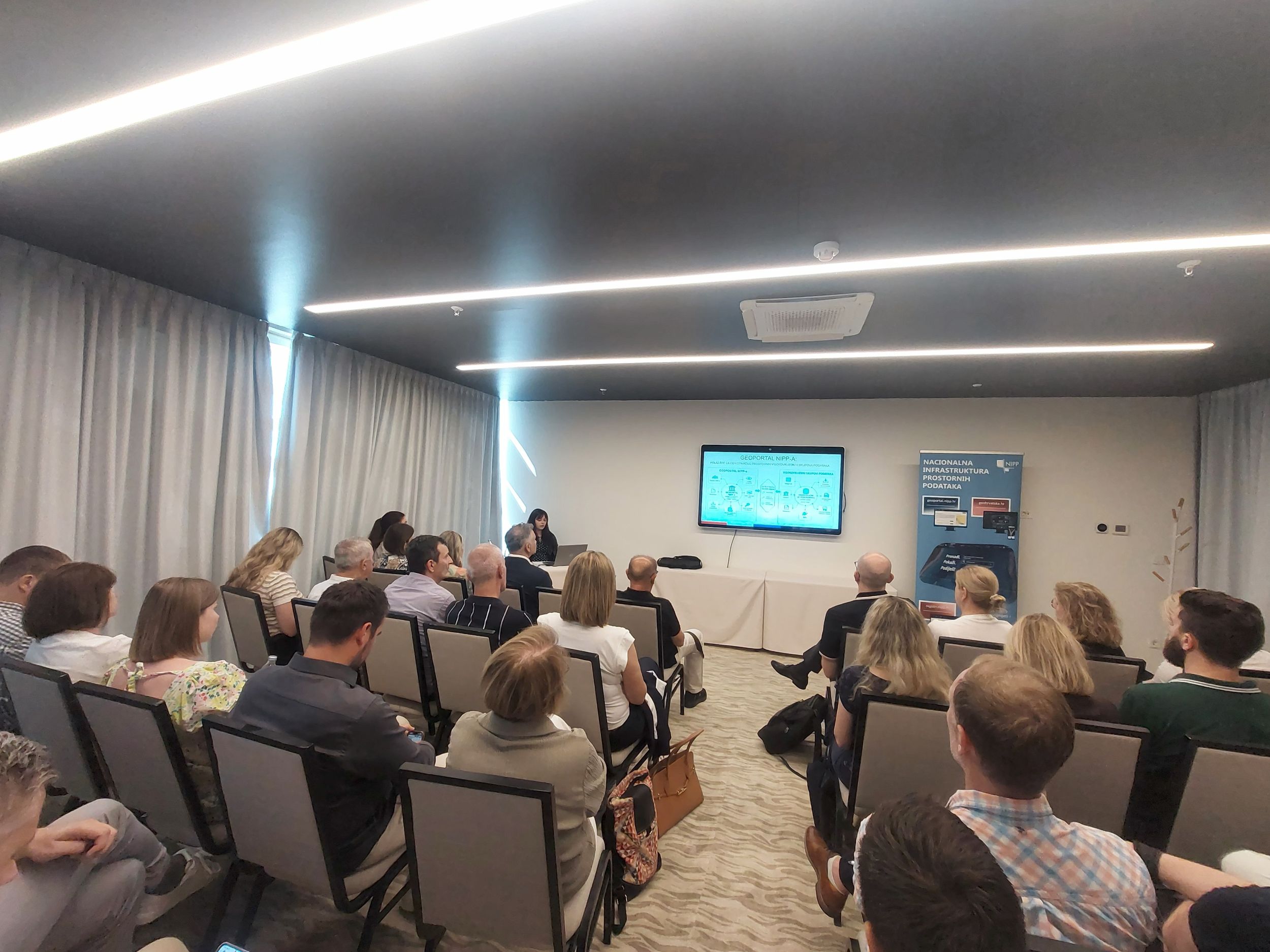
The SDI Days 2026 gathered around 120 participants, including members of the NSDI Council, representatives of NSDI subjects, the public and private sectors, academia, and representatives of geodetic administrations from Bosnia and Herzegovina and Slovenia.
Participants agreed that the long-standing tradition of organizing NSDI and INSPIRE Days, together with the continuous implementation of NSDI workshops, confirms the successful cooperation between the State Geodetic Administration and all NSDI subjects, as well as the recognized importance of ongoing knowledge exchange, experience sharing, and the joint development of the National Spatial Data Infrastructure in the Republic of Croatia.