Preskočite na glavni sadržaj
Login
State Geodetic Administration logo National Spatial Data Infrastructure logo

New data included in the GeoCroatia browser

The State Geodetic Administration, in cooperation with the NSDI subjects, continues to develop the GeoCroatia browser by including the official spatial data of the Republic of Croatia, with the aim of increasing their availability and further use. For this reason, overview of new spatial data is enabled, such as the Register of Cultural Heritage of the Republic of Croatia maintained by the Ministry of Culture and Media, public roads of the Republic of Croatia which are under the jurisdiction of Hrvatske ceste d.o.o. and hiking trails and mountaineering facilities collected by the Croatian Mountaineering Association.
 
GeoCroatia browser
 
Currently, on the browser 130 different spatial data under the jurisdiction of 14 institutions can be viewed, which are available through 46 network services.

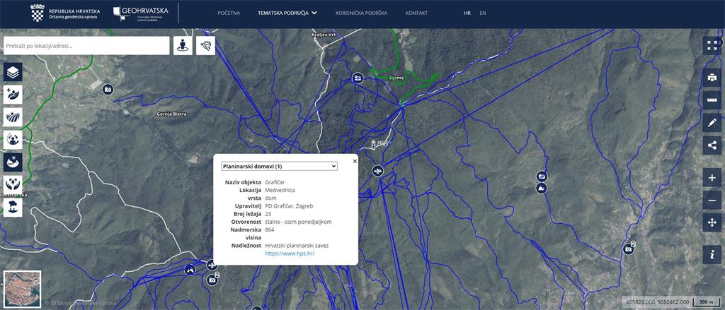
Many of the spatial data available on the browser have a direct impact on the quality of life of each of us, such as air quality, noise levels or the layout of mobile transmitters, while data such as cultural property, hiking trails or hiking facilities can help us plan leisure or recreation. The system is adapted to be accessed via mobile devices, and by locating in space, the user is shown spatial data near his location.

You can access the above data, but also many other official spatial data of the Republic of Croatia via the link https://geohrvatska.hr.
 
Hiking trails on the GeoHrvatska browser