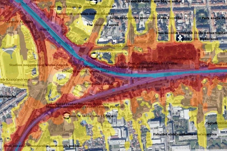
The development of the mobile application is a continuation of the project to establish the GeoHrvatska web browser, which was put into trial operation in November 2019. GeoHrvatska, both the web browser and the mobile application, represent the success and achievement of the development of the National Spatial Data Infrastructure and the excellent cooperation of the public authorities that manage and maintain the official spatial data of the Republic of Croatia.
The mobile application was developed in the modern Flutter technology developed by Google, for the development of mobile applications for Android and iOS devices. Just like the GeoHrvatska web browser, the mobile application retrieves data from the network services of NIPP entities, and all open-source technologies are used.
The application is available publicly for all users of Android and iOS devices on the Google Play Store and the Apple Store.