

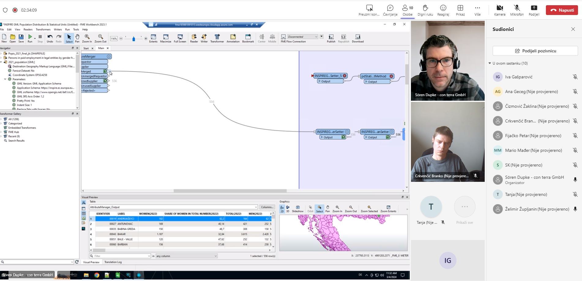
The aim of the workshop was the harmonization of selected spatial datasets for NSDI and the INSPIRE theme Population distribution (demography) and Statistical units. Within the framework of the above-mentioned harmonization themes, spatial dataset are under the jurisdiction of the Croatian Bureau of Statistics and the State Geodetic Administration were selected and transformed into the form prescribed by the NSDI Act and the INSPIRE Directive through the FME software solution. A total of three sets were harmonized, which were finally validated through the INSPIRE Validator to check the correctness of the harmonization performed.

Harmonization of spatial dataset is a process of transforming spatial dataset from an existing model into an output model with geometry and associated attributes that are compliant with the INSPIRE theme Population distribution and Statistical units. The implementation of harmonization is mandatory for all spatial datasets in the INSPIRE domain and is one of the basic steps to fulfill the obligations imposed by the NSDI Act, the INSPIRE Directive and accompanying legislation.