
15th NSDI and INSPIRE Day as part of the "SDI Days 2026" Conference
On May 27 and 28, 2026, the 15th conference dedicated to spatial data infrastructures, the SDI Days 2026, organized by the State Geodetic Administration, was held at the Amadria Park Hotel Ivan in Šibenik. This year's conference brought together more than 120 participants from the public, private, and academic sectors.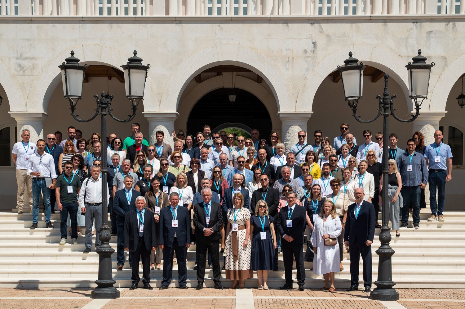
The two-day conference program included a workshop, held on May 27, dedicated to high-value datasets, as well as expert lectures and a panel discussion held on May 28, 2026.
On the first day of the conference at the Šibenik Convention Center, in the Hall Šibenik VII, the 46th NSDI workshop dedicated to high-value datasets was held, attended by more than 40 participants.
.JPG?vel=156496)
.JPG?vel=116272)
As part of the workshop, the Open Data Directive and the Implementing Regulation on High-Value Datasets were presented, along with an overview of high-value datasets within the NSDI and the role of the Open Data Portal in the context of publishing and reusing data.
.JPG?vel=106455)
.JPG?vel=111459)
The aim of the workshop was to familiarize NSDI subjects with the new obligations arising from European legislation, especially regarding the publication and accessibility of high-value spatial datasets.
.jpg?vel=91923)
.JPG?vel=107758)
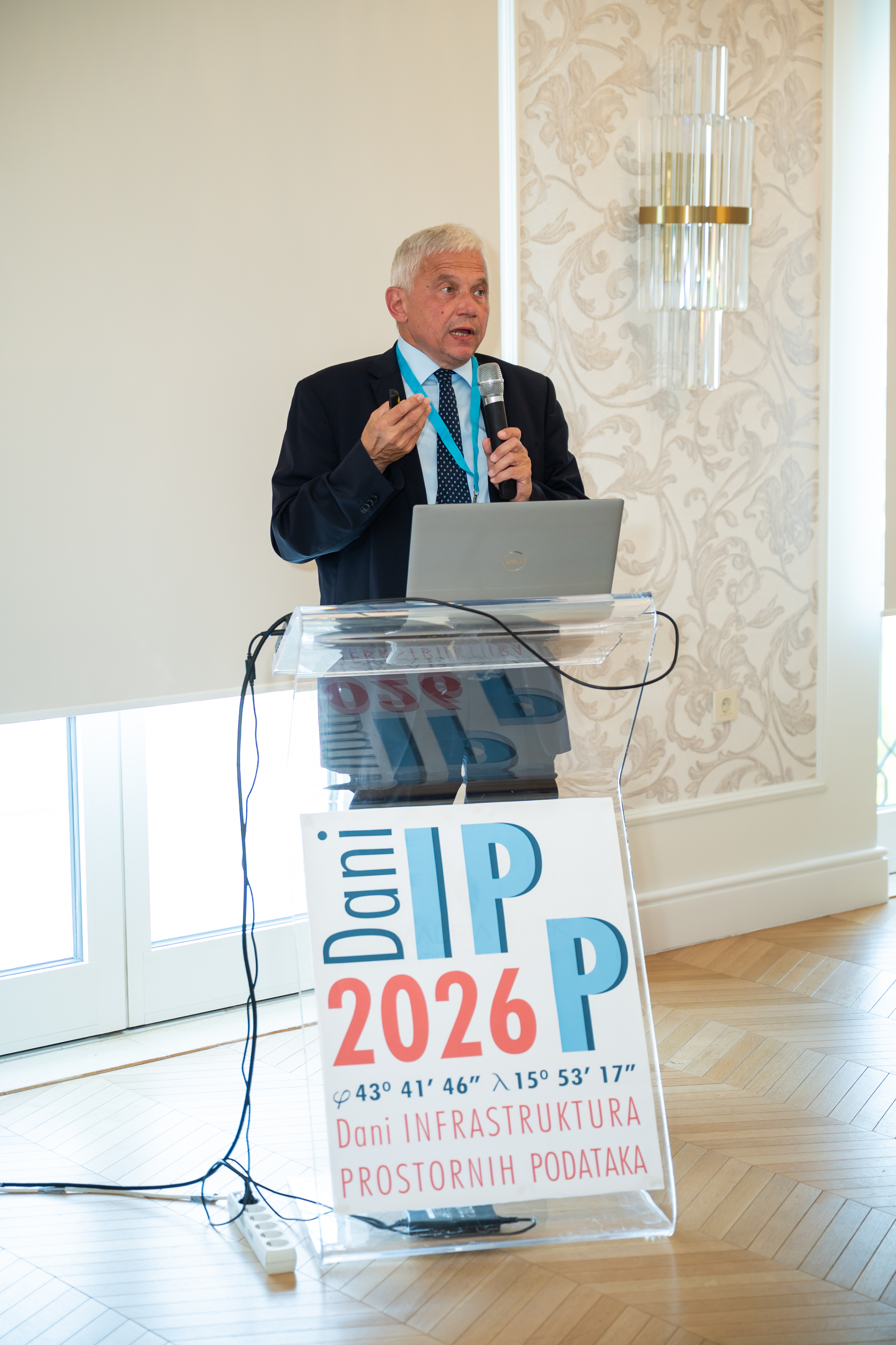
On the second day of the conference, the 15th NSDI and INSPIRE Day was held in the Hall Mediteran I, with a parallel program taking place in the Hall Mediteran II, within the Mediteran City of Amadria Park. The conference was officially opened by the Director General of the State Geodetic Administration and President of the NSDI Council, Antonio Šustić. In his welcoming speech, he emphasized that the core objective of the NSDI is to make spatial data under the jurisdiction of the public sector easily and simply accessible, and to ensure its interoperability, so that once collected, data can be effectively reused.
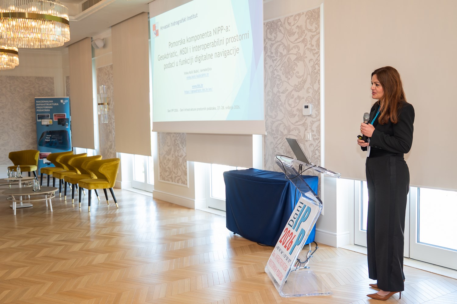
An invited lecture entitled “Maritime Component of NSDI: GeoAdriatic, MSDI and Interoperable Spatial Data in the Function of Digital Navigation” was delivered by the Director of the Croatian Hydrographic Institute, Vinka Kolić Bubić. The lecture provided an insight into the maritime component of the NSDI, and presented the Croatian Marine Portal GeoAdriatic, the marine spatial data infrastructure, and interoperable spatial data in the function of digital navigation.
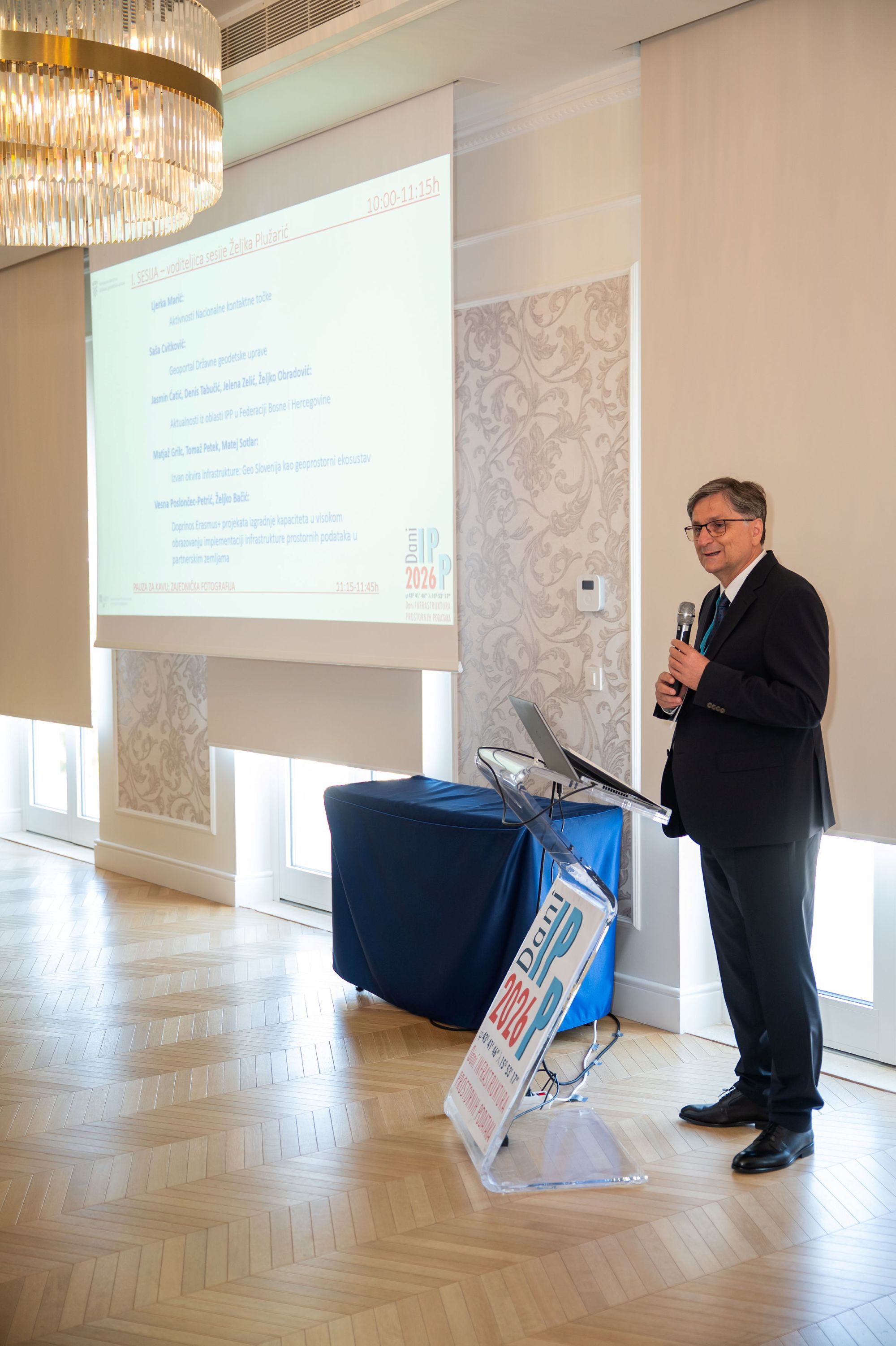
The invited lecture was followed by the first session of the conference, led by Željka Plužarić. The first lecture of the session was given by the Head of the Sector of Spatial Data Infrastructure, Ljerka Marić, MSc, who presented the activities, tasks, and key achievements of the State Geodetic Administration as the National Contact Point for NSDI.
Following the session, representatives of neighboring countries presented the status of establishment and development of national spatial data infrastructures in their respective countries and institutions. Presentations were given by representatives Jasmin Ćatić from the Federation of Bosnia and Herzegovina and Primož Mavsar from Slovenia.
.jpg?vel=173512)
.JPG?vel=128918)
Then, Prof. Željko Bačić, PhD, from the Faculty of Geodesy, University of Zagreb, gave a lecture dedicated to the contribution of Erasmus+ capacity building projects in higher education to the implementation of spatial data infrastructure in partner countries.
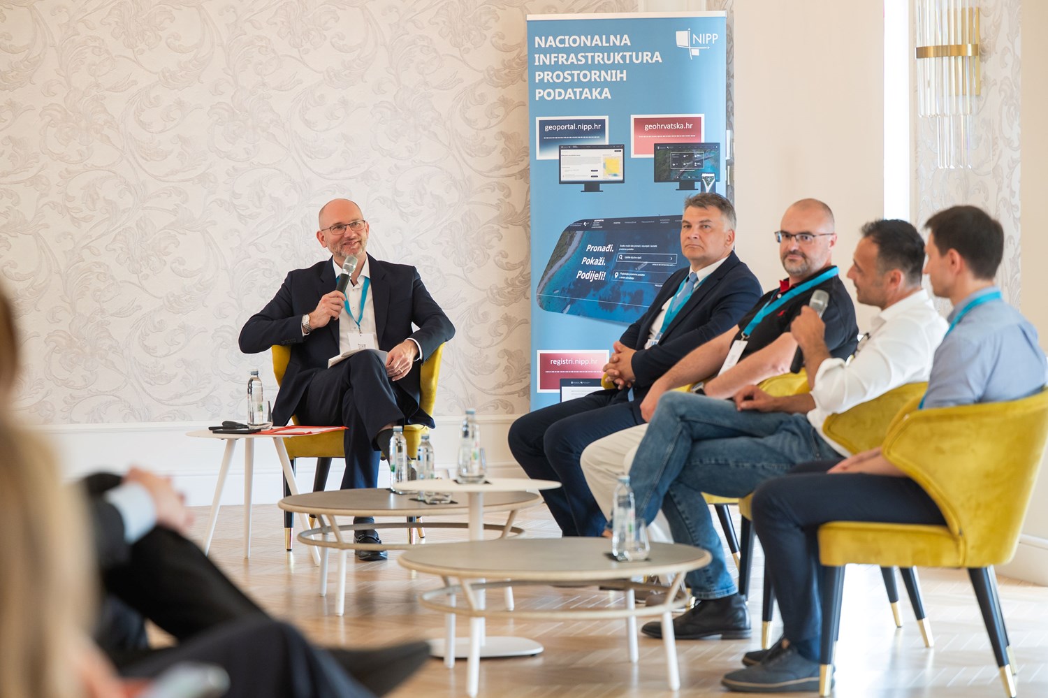
Later in the conference, a panel discussion entitled “The Next Generation of INSPIRE” was held, focusing on the impact of the announced amendments and simplification of European legislation on the future development of the NSDI. The panel participants included Miljenko Hajnić, Head of the Sector for Interoperability and Data Management at the Ministry of Justice, Public Administration and Digital Transformation; Darko Boto, Senior GIS Consultant at IGEA; Marko Turković, System Architect at VEROX; and Branimir Pavlinec, Head of the Environmental Sector at the Ministry of Environmental Protection and Green Transition. The discussion was moderated by Tomislav Ciceli, MSc, Head of the National Spatial Data Infrastructure Service at the State Geodetic Administration.
In the second part of the conference, two parallel sessions were held, featuring a series of expert lectures in the field of NSDI and spatial data. The second session, which took place in the Hall Mediteran I, was led by Iva Gašparović, PhD.
.jpg?vel=104532)
.jpg?vel=105118)
The lectures covered topics related to developments and updates in the field of spatial planning and physical planning information systems, cultural heritage information systems as a thematic spatial data infrastructure, the integration of statistical and geospatial information, and the development and use of spatial data within the firefighting system of the Republic of Croatia.
.jpg?vel=145028)
.jpg?vel=137570)
Furthermore, the spatial aspects of flood risk management were presented, alongside the establishment and development of a unified national database of the maritime domain of the Republic of Croatia.
.jpg?vel=168163)
.jpg?vel=132435)
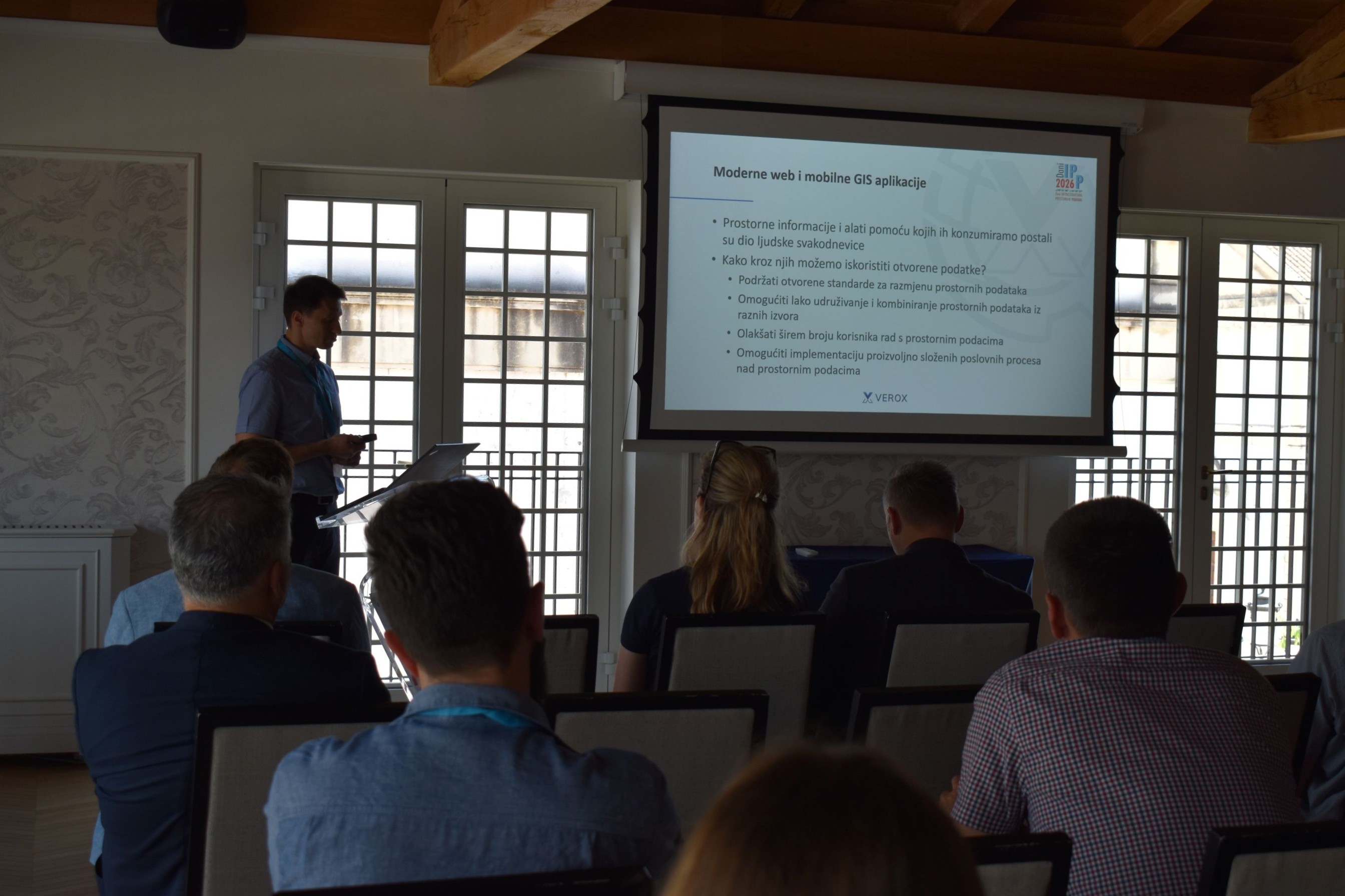
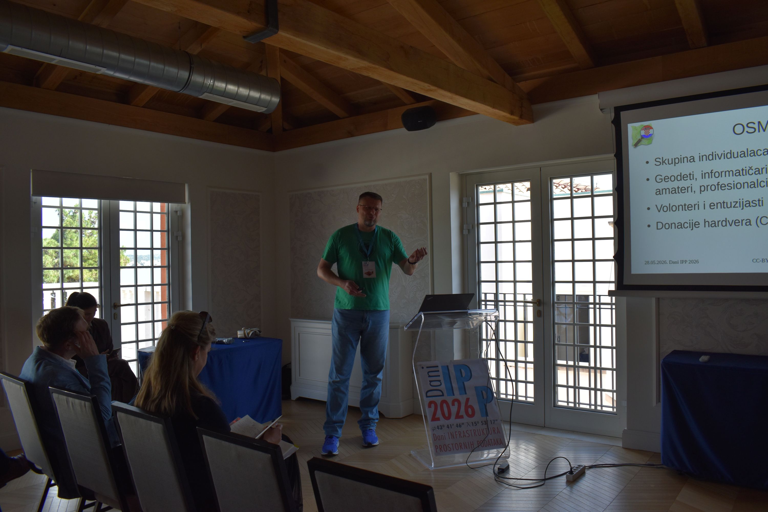
The third session of the conference, held in the Hall Mediteran II, was led by Tanja Rodin, MSc. The lectures were dedicated to the practical application of spatial data and interoperable solutions across various areas of the public and private sectors.
.JPG?vel=143812)
.JPG?vel=92439)
Participants were introduced to the eRežimi (eRegimes) system, the roles of geospatial data in the development of electronic communications and digital infrastructure, as well as the applications and possibilities of the IOR GeoPortal.
.JPG?vel=95183)
.jpg?vel=118694)
As part of the session, examples of using spatial data for analytical and communication purposes were also presented, along with the practical application of NSDI in everyday work and the possibilities of cooperation between NSDI and OpenStreetMap.
We would like to thank all the lecturers and participants who, through their engagement, helped make this year's NSDI Days 2026 interesting and educational.
The photo gallery is accesible via the link. All presentations are available in PDF format (in Croatian) in the table below.
|
SPATIAL DATA INFRASTRUCTURE DAYS 2026 May 27-28, 2026. |
||
|
PROGRAMME |
||
|
May 27, 2026. |
||
| TIME | AUTHORS AND LECTURE TITLES | FORMAT |
| 14:30-15:00 | Registration and refreshments | |
| 15:00-15:30 | Tomislav Ciceli, Iva Gašparović: Open Data Directive and the Implementing regulation on high-value datasets | PDF (Croatian) |
| 15:30-15:45 | Ana Geceg, Tanja Rodin: Overview of high-value datasets in NSDI | PDF (Croatian) |
| 15:45-16:15 | Miljenko Hajnić: Open Data Portal | |
| 16:15-16:30 | Discussion | |
| 20:00 | Reception for participants, Amadria Park Hotel Ivan | |
|
May 27, 2026. |
||
| TIME | AUTHORS AND LECTURE TITLES | FORMAT |
| 8:00-9:00 | Registration | |
| 9:00-9:30 | Opening ceremony | |
| 09:30-10:00 | Invited lecture | FORMAT |
| Vinka Kolić Bubić, Pomorska komponenta NIPP-a: GeoAdriatic, MSDI i interoperabilni prostorni podaci u funkciji digitalne navigacije | PDF (Croatian) | |
| 10:00-11:15 | I. session (Session chair: Željka Plužarić) | FORMAT |
| Ljerka Marić: Activities of the National Contact Point | PDF (Croatian) | |
| Saša Cvitković: State Geodetic Administration Geoportal | PDF (Croatian) | |
| Jasmin Ćatić, Denis Tabučić, Jelena Zelić, Željko Obradović: Current developments in the field of SDI in the Federation of Bosnia and Herzegovina | PDF (Croatian) | |
| Matjaž Grilc, Tomaž Petek, Matej Sotlar: Outside the frame of infrastructure: Geo Slovenia as a geospatial ecosystem | PDF (Croatian) | |
| Vesna Poslončec-Petrić, Željko Bačić: Contribution of Erasmus+ projects for capacity building in higher education to the implementation of spatial data infrastructure in partner countries | PDF (Croatian) | |
| 11:15-11:45 | Coffee break; group photo | |
| 11:45-12:45 | Panel discussion: "The next generation of INSPIRE" | FORMAT |
| Moderator: Tomislav Ciceli Participants: Miljenko Hajnić, Head of the Sector for interoperability and data management, Ministry of Justice, Public Administration and Digital Transformation Darko Boto, senior GIS advisor, IGEA Marko Turković, system architect, VEROX Branimir Pavlinec, Head of the Environmental Sector, Ministry of Environmental Protection and Green Transition |
||
| 12:45-14:00 | Lunch break | |
| 14:00-15:30 | II. session - Mediteran I Hall (Session chair: Iva Gašparović) | FORMAT |
| Sunčana Habrun: ISPU and spatial planning: news, announcements | PDF (Croatian) | |
| Aljoša Špaleta, Anuška Deranja Crnokić: Information system of cultural heritage as a thematic spatial data infrastructure: from public services to interoperable e-services | PDF (Croatian) | |
| Branko Crkvenčić: Linking statistics and geospatial information | PDF (Croatian) | |
| Igor Magdalenić: Development and use of spatial data in the firefighting system of the Republic of Croatia | PDF (Croatian) | |
| Darko Barbalić, Danko Biondić, Luka Vukmanić, Sandra Šturlan Popović: Flood risk management plan - spatial aspects | PDF (Croatian) | |
| Iva Godler, Marijana Iviček, Boris Fantulin, Ante Andreis, Marijana Fitz: Unified national database of the maritime domain of the Republic of Croatia | PDF (Croatian) | |
| 14:00-15:30 | III. session - Mediteran II Hall (Session chair: Tanja Rodin) | FORMAT |
| Alen Grabar: eRežimi - an example of interoperability | PDF (Croatian) | |
| Tomislav Bartolec: Geospatial data as the foundation of the development of electronic communications and digital infrastructure | PDF (Croatian) | |
| Ivan Vučić: IOR GeoPortal | PDF (Croatian) | |
| Darko Boto: From statistics to dialogue | PDF (Croatian) | |
| Marko Turković: Synergy of spatial data - practical applications of the NSDI in everyday work | PDF (Croatian) | |
| Hrvoje Bogner: NSDI and OpenStreetMap | PDF (Croatian) | |
| 15:30-15:45 | Closing ceremony | |