

As part of the development of the Geoportal of the National Spatial Data Infrastructure (NSDI), a new functionality of automatic monitoring of the availability and performance of network services was introduced for the first time. It is based on "GeoHealthCheck", an open source tool. This upgrade enables all network service providers, who are also NSDI subjects, to timely detect potential network service problems and ensure their availability, reliability and efficiency.
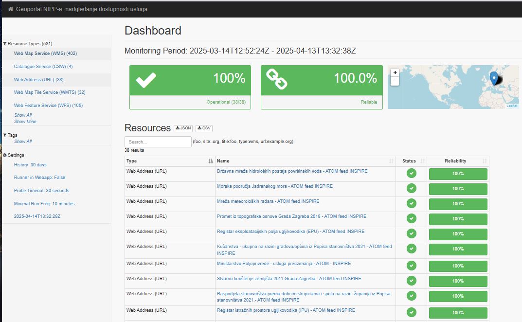
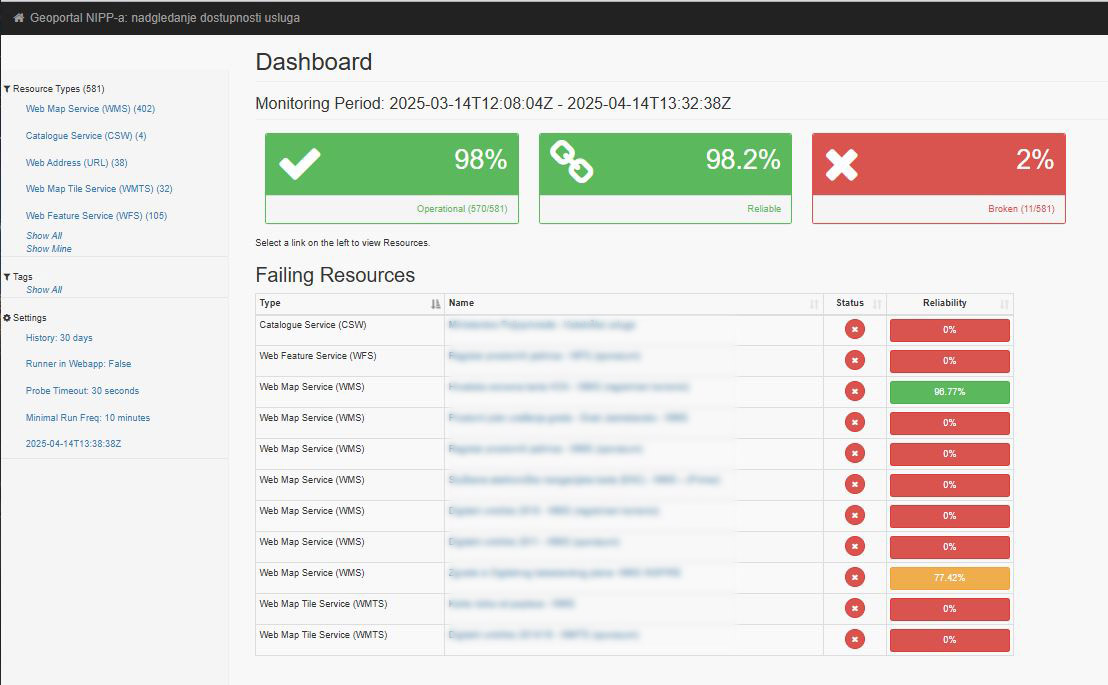
GeoHealthCheck is an open source tool for monitoring and testing network services (OGC WMS, WFS, WMTS, CSW, etc.) that continuously checks the availability, correctness, and response time of network services and generates reports on their status, while also checking URL addresses. In the case of unavailability of a certain network service, the generated reports with the specified difficulties of the network service are automatically sent by email to the subject of NSDI, in whose jurisdiction is the specific network service, and to the employees of the National Contact Point. In this way, NSDI subjects are informed in a timely manner about the non-functionality of the network service in their jurisdiction, and they can promptly proceed to the elimination of difficulties so that their network services are continuously available to users.
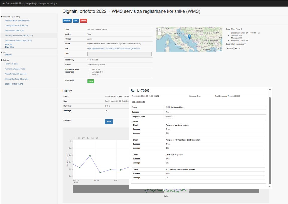
Some of the main tests that GeoHealthCheck performs are standard OGC checks (compliance with OGC specifications (WMS GetCapabilities, WFS GetFeature...)), responsiveness test (measures how quickly a network service responds to a query), and HTTP status check (checks whether a network service returns a valid HTTP response). The tests are performed once a day.
This upgrade represents a significant contribution to raising the quality of spatial data infrastructure in the Republic of Croatia, both from the perspective of users and from the perspective of NSDI subjects. Any problems with the reliability and availability of network services are identified early enough, often even before the users themselves recognize them. Subjects that have registered network services do not have to develop their own tools for monitoring the performance of their own network services; it is sufficient to register them in the NSDI Metadata Catalogue and they will be checked periodically.
The State Geodetic Administration, as the National Contact Point for NSDI and INSPIRE, continuously makes efforts to make spatial data under the jurisdiction of public authorities of the Republic of Croatia available to all interested parties.
Detailed documentation for GeoHealthCheck is available at https://geohealthcheck.org/.