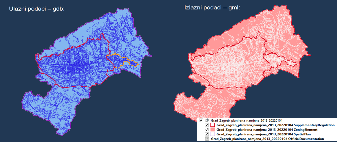
The main tasks of the Working Group included analyzing spatial plans at all levels in the NSDI, analyzing the roles of different institutions involved in the process of creating, adopting and publishing spatial plans, analyzing the possibility of linking the NSDI Metadata Catalogue with the Metadata Catalogue of the Physical Planning Information System, and proposing a standardized solution for recording spatial plans in the NSDI Metadata Catalogue.

A total of eight meetings of the Working Group were held, during which members actively contributed to a simpler and more harmonized inclusion of spatial plans into the NSDI and participated in the development of the document “Recommendations for recording Spatial Plans in the National Spatial Data Infrastructure”. This document will be published after being adopted by the NSDI Council.

The State Geodetic Administration, as the National Contact Point for NSDI, thanks all members of the Working Group for their work, effort, and contribution to the process of including spatial plans into the NSDI.