

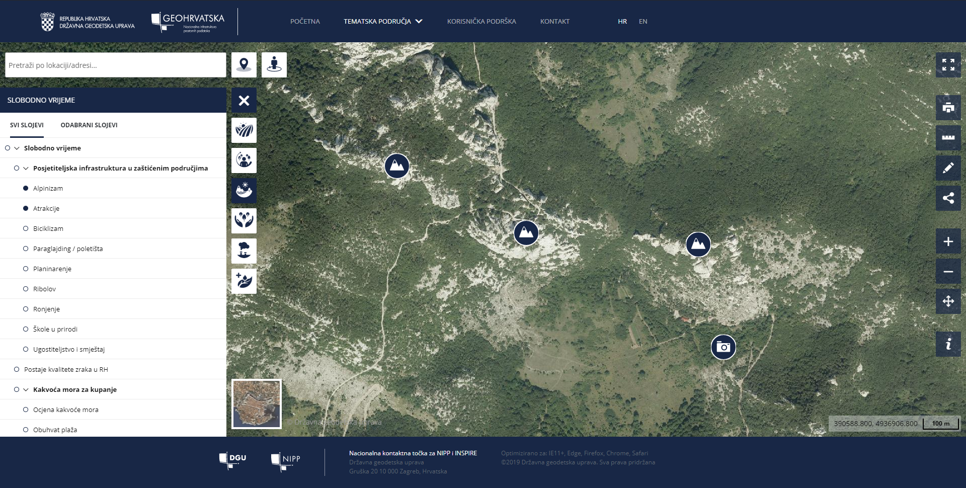
The browser offers users many options, but the emphasis is on viewing data in a user’s location using Data Around Me tool, which shows the user the closest spatial data of the selected thematic area. Applying the Search Area tool results in the data closest to the current mouse position on the map. Also, search by geographical names/street and the house number is possible based on the data of the Register of Spatial Units and the Register of Geographical Names of the State Geodetic Administration. To maximize the potential of the GeoHrvatska browser, the data browser has been expanded with basic GIS tools to provide the user with more opportunities to work on the available data. The system is fully customizable for mobile devices, that is, it has a responsive design with an emphasis on mapping the user environment.
The browser visualises 42 spatial dataset under the jurisdiction of 11 institutions. It is important to emphasize that the displayed data are not situated in a unique place in the context of the browser, but they are used in an interoperable way, using network services operated by the institution responsible for the data. This allows the system to serve official and up-to-date information under the jurisdiction of NSDI subjects.
The goal of the development of the GeoHrvatska browser is to make spatial data in the jurisdiction of public authorities available to citizens, to increase the level of transparency of public authorities by sharing and using the data.
Since the launch of the browser into trial work in November 2019 to date (September 2020), the application has been accessed by over 8,000 users.