

The NSDI Geoportal is the central point for access to spatial data sources of the Republic of Croatia which are part of the National Spatial Data Infrastructure pursuant to the NSDI Act (OG 56/13, 52/18, 50/20) and is available at the web address http://geoportal.nipp.hr. The system is established, maintained and developed by the State Geodetic Administration as the National Contact Point in order to manage metadata in a single place, as well as to provide access to services for discovering, viewing, downloading, transforming and invoking spatial data sources.
NSDI's Geoportal has been improved by migrating to a new version of the open source cataloging application GeoNetwork 3.4.4, which has technologically modernized the Metadata Catalog, facilitated system configuration through the administration interface and greatly improved the user interface. In order to unify all system components and improve the user experience, the entire NSDI Geoportal system has been redesigned and adapted for use on mobile devices. The realization of the upgraded and improved NSDI Geoportal was realized by the company IGEA Ltd.
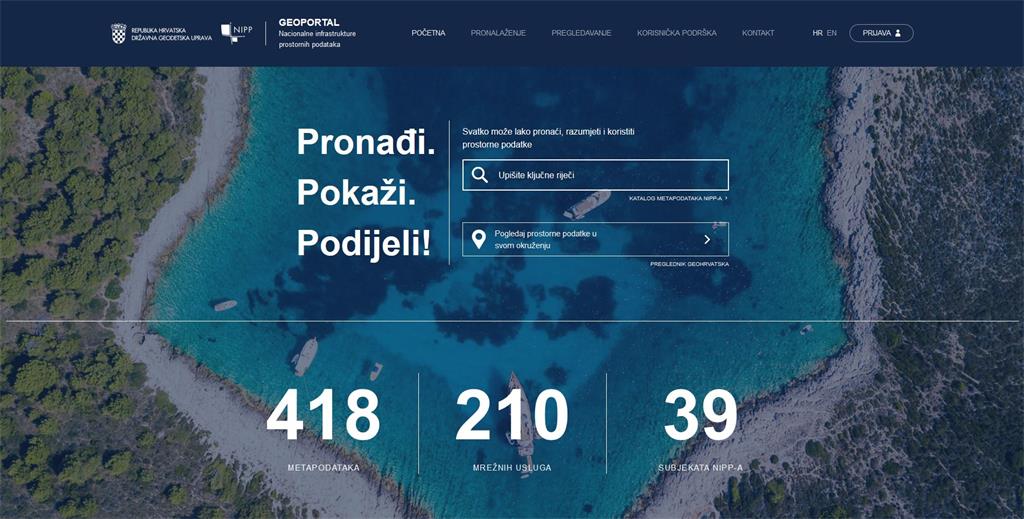
Currently, there are 418 metadata available on the NSDI Geoportal, which describe and define the spatial data sources of public authorities, while network services have been developed for 210 spatial data sources, out of a total of 39 NSDI subjects.
We hope that the new NSDI Geoportal will meet all the needs of users, both of the subjects in a way that will facilitate their management of spatial data sources under their jurisdiction and users of spatial data by making it easier to find spatial data of interest.
We point out that due to additional work on the system, there may be difficulties in operation as well as the inability of access to the registered users.