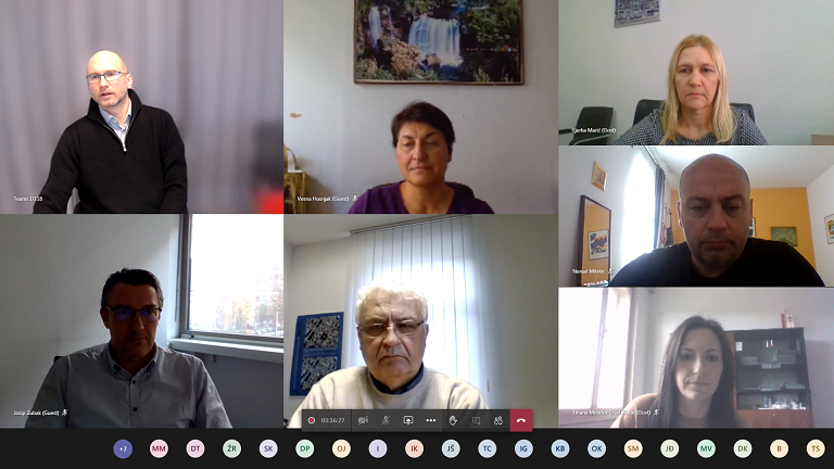
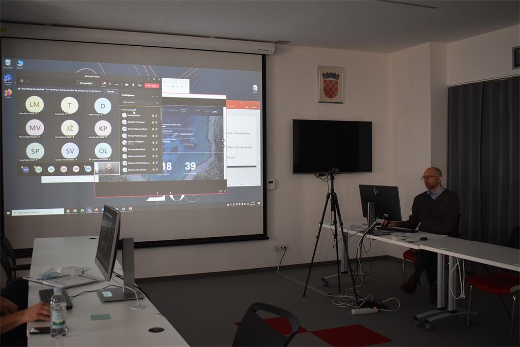
Organized by the State Geodetic Administration, as the National Contact Point of the National Spatial Data Infrastructure (NSDI), three NSDI workshops (19, 20 and 21) were held on 2, 3 and 4 February 2021 with the aim of strengthening human capacities required for the inclusion of local and regional self-government units in the NSDI. Virtual workshops were held as part of the project "Capacity Building for the Establishment of the National Spatial Data Infrastructure" co-financed by the European Social Fund (ESF).
Educational NSDI workshops entitled "Inclusion in the National Spatial Data Infrastructure" were held in the form of webinars and were intended for local and regional self-government units from Varaždin, Međimurje, Koprivnica-Križevci, Krapina-Zagorje, Zagreb, Bjelovar-Bilogora, Virovitica-Podravina, Osijek-Baranja and Vukovar-Srijem counties and the City of Zagreb, in which a total of 126 participants participated.
On behalf of the State Geodetic Administration, the workshop was opened by Antonio Šustić, deputy director general, Ljerka Marić, MSc, Head of the Spatial Data Infrastructure Sector and Tomislav Ciceli, MsC, Head of the NSDI Division.

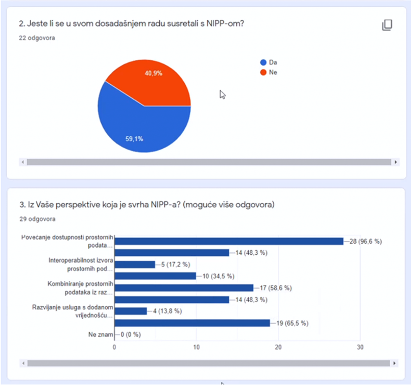
Participants were shown the elements of this project in the form of an analysis of existing knowledge and how the NSDI works; knowledge of employees of the State Geodetic Administration as local promoters of the NSDI and strengthening the capacity of employees from the National Contact Point; holding workshops and conferences to raise awareness, knowledge and involvement in NSDI at national, regional and local levels, and promotion, visibility, management and administration of the project. Also, the interactive participation of the workshop participants was in the form of a Questionnaire and an Evaluation of the NSDI workshop.
Lecture on the topic "Introduction to NSDI; Anyone can easily find, understand and use spatial data" was held by Tomislav Ciceli, MSc. In this lecture the strategic, legal and technical frameworks were presented, as well as the time status, data, NSDI Registers, obligations of subjects and awareness raising and support to NSDI stakeholders. Also, the participants of the workshop were given information about the current activities of the National NSDI Contact Point, about the perspective of the beneficiaries and joint work in the future activities of the NSDI in the Republic of Croatia.

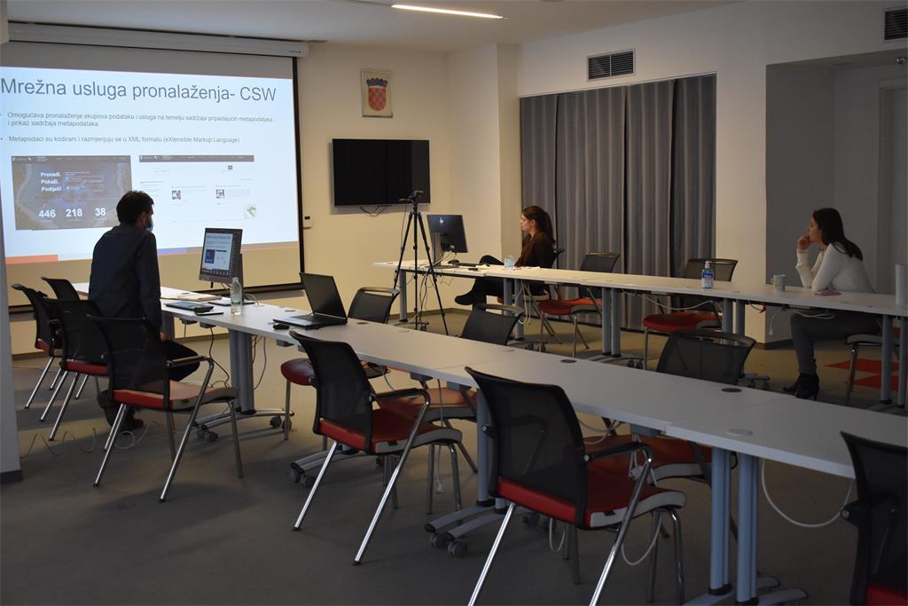
Lectures on "NSDI Registers" and "Network Services" were held by Tanja Rodin, MSc, Head of the NSDI Data Interoperability Department. These lectures explained the procedures for involving subjects in the NSDI, which NSDI Registers are maintained by the National Contact Point; reports of spatial data sources to the NSDI, the procedure for filling in the Register of NSDI subjects, the Register of NSDI spatial data sources, legal frameworks that oblige subjects to enroll, network services prescribed by the INSPIRE Directive: discovery, view, download and transformation services.
The State Geodetic Administration continues its activities on the implementation of this project and will soon organize new workshops for representatives of local and regional self-government.