The module is based on NSDI spatial data available through network services and analyzes the relationship of several different layers of spatial data of interest to the user as an example of good practice in the use of NSDI spatial data and thus serves as an example of data interoperability.
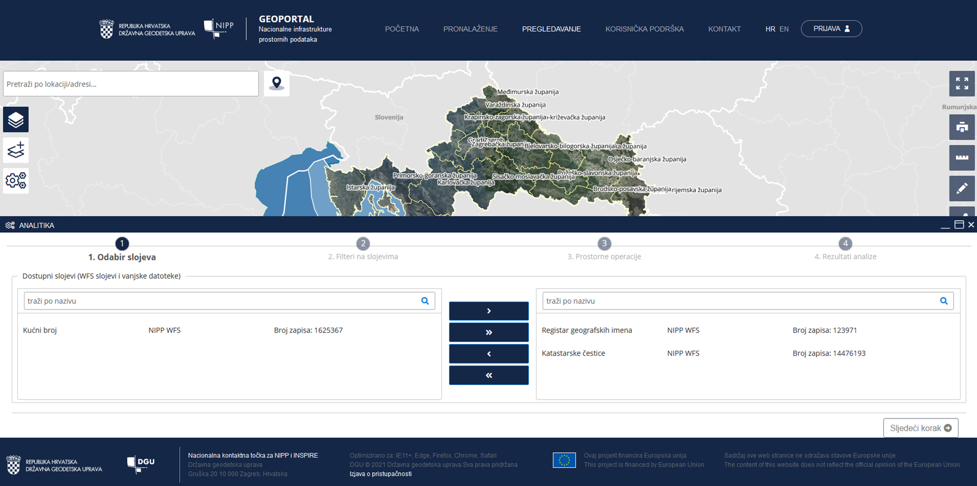
For now, the tool offers two spatial analyzes: finding objects of one layer that are within a given distance from objects of another layer, and finding objects of one layer that intersect with objects of another layer. These analyzes are performed on the data of: Cadastral parcels and cadastral municipalities, the Register of geographical names and house numbers of the Register of spatial units. Given that the possibilities of application of NSDI are wide, the tool is designed to provide a quality foundation for easier future expansion of the module.
Development and implementation of the module is co-financed by the European Regional Development Fund (ERDF), in accordance with the Operational Program "Competitiveness and Cohesion 2014-2020", and within the Grant Agreement KK.02.2.1.01.0016 "Increasing the availability of spatial data NSDI through e-services".