

At the opening of the workshop, the attendees were greeted by the Vice Dean for Science, Faculty of Maritime studies, University of Split, Assist. Hrvoje Dodig, PhD, Ms. Vinka Kolić, Director of the Croatian Hydrographic Institute and Director General of the State geodetic Administration Damir Šantek, PhD. The workshop was attended by more than 40 NSDI subjects and local promoters.
The first day of the Conference ended with the opening of a posters exhibition of NSDI subjects entitled “Spatial Data – once and now” and the exhibition was opened by Mr. Antun Vidaković, Deputy Director General of the State Geodetic Administration.
The second day of the conference, November 14, 2019, the 11th NSDI and INSPIRE day was held in the congress hall of the Radisson Blu Hotel in Split.
At the opening ceremony, present participants were greeted by Ljerka Marić, MSc, Head of the Sector for spatial data infrastructure, State Geodetic Administration, Assoc. prof. Nikša Jajac, PhD, Dean of the Faculty of Civil Engineering, Architecture and Geodesy and Ms. Vinka Kolić, Director of Croatian Hydrographic Institute.
At the opening of the conference a new portal of the State Geodetic Administration – GeoHrvatska was presented. GeoHrvatska was presented by Iva Gašparović, PhD, Head of Department for interoperability of NSDI data, which through a video presentation presented the possibilities of the new portal. The new portal is intended for citizens so that they can use the spatial data of the Republic of Croatia in a simple, intuitive and mobile way.
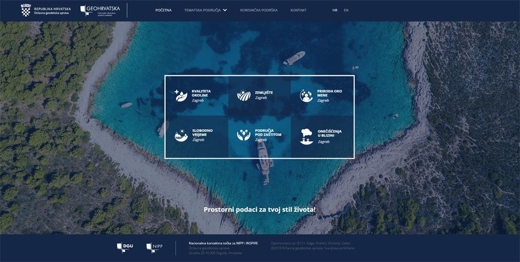
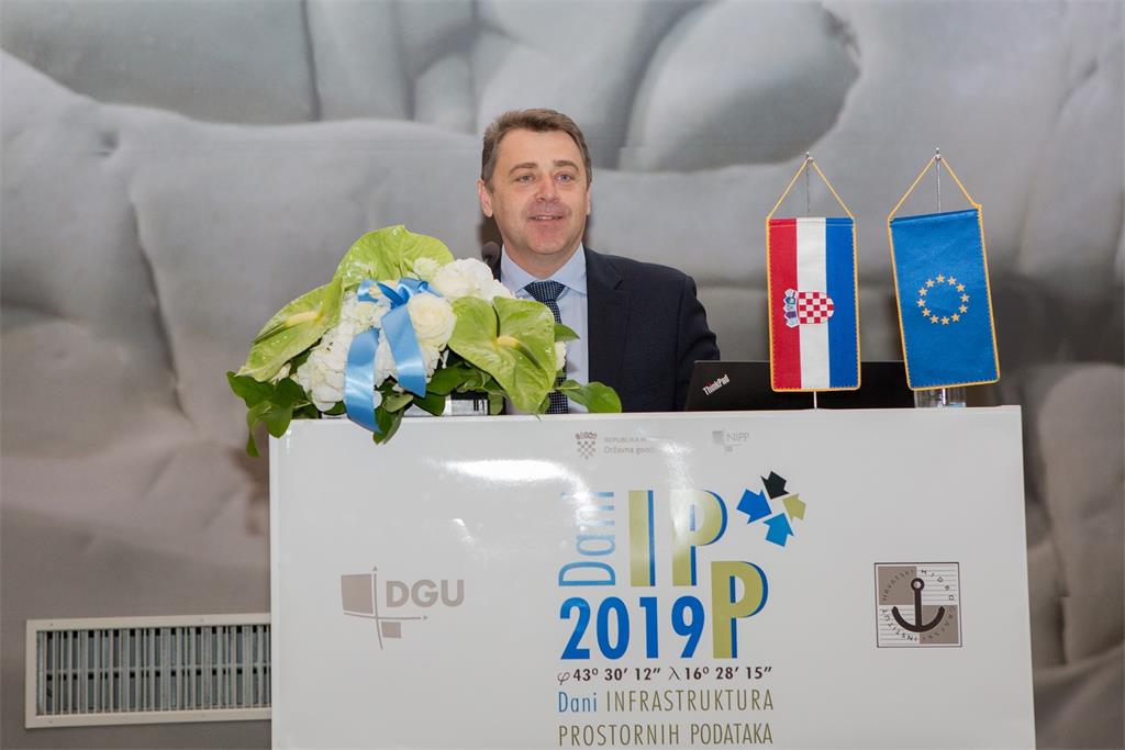
Director General of the State Geodetic Administration Damir Šantek, PhD, in continuation opened the Conference and released into trial work the GeoHrvatska portal.
The opening program of the conference was accompanied by musical performances by the women’s choir “Klapa Neverin”, which contributed to the festive atmosphere with their performances.
The opening ceremony of the conference was followed by an invited lecture by Ine de Visser from Geonovum, Netherlands, who in her presentation highlighted the importance of a spatially empowered society and standardization of data and showed examples of the implementation of the INSPIRE Directive in the Netherlands.
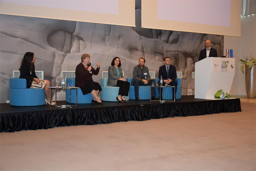
In continuation a forum entitled “Everyone can easily find, understand and use spatial data” was held, moderated by Tomislav Ciceli, MSc. The forum participants were Damir Šantek, PhD, Director General of the State Geodetic Administration, Ms. Vinka Kolić, Director of the Croatian Hydrographic Institute, Ms. Jarmila Pezo, President of the Board of IGEA d.o.o., Mr. Dino Ravnić, Co-founder and President of the Board of GIS Cloud d.o.o. and Vlasta Tutiš, PhD, Head of Division for Weather and Marine Analysis and Forecasts, Croatian Meteorological and Hydrological Service.
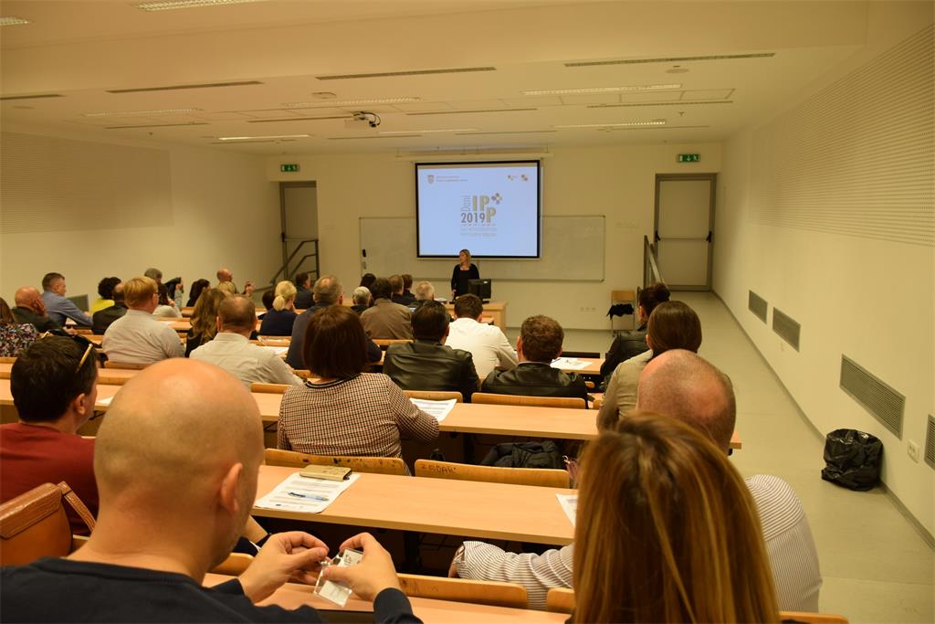
Also, ten lectures were presented divided into two sessions covering different topics, from topics in the academic sector to examples from practice. The lectures highlighted the importance of spatial data, the need for capacity development at universities, the application of new technologies in NSDI, and the future of INSPIRE and NSDI.
We would like to thank all the lecturers and participants who helped with their engagement to make this year’s SDI Days interesting and educational.
The SDI 2019 Conference is co-founded by the European Social Fund.

| PROGRAMME OF THE 11th NSDI AND INSPIRE DAY | ||
| TIME | AUTHORS AND LECTURE TITLES | FORMAT |
| 10:00–11:00 | Opening | |
| 11:00–11:30 | Ine de Visser: Sdi.nl Powered by Inspire | |
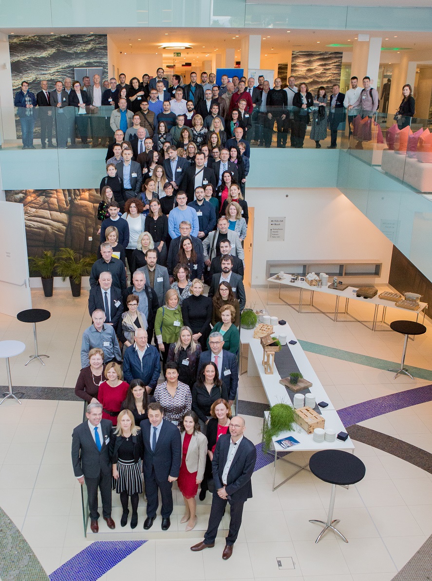
| 11:30–12:00 | Group photo Coffee break |
|
| 12:00–13:30 | FORUM: "Everyone can easily find, understand and use spatial data" Participants: Dr. sc. D. Šantek, glavni ravnatelj Državne geodetske uprave
Vinka Kolić, ravnateljica Hrvatskog hidrografskog instituta
Jarmila Pezo, predsjednica uprave IGEA d.o.o.
Dino Ravnić, suosnivač i predsjednik uprave GIS Cloud d.o.o.
Dr. sc. Vlasta Tutiš, načelnica Sektora za vremenske i pomorske
analize i prognoze, Državni hidrometeorološki zavod |
PDF |
| 13:30–14:30 | Lunch break | |
| I. session - hall "Ballroom" | ||
| 14:30–16:00 |
D. Perešin, M. Majcen, D. Dragčević, D. Boto, P. Vojnović:
ARKOD podaci i ispunjenje NIPP/INSPIRE obveza (2013/2019) S. Habrun, V. Pokornić:
Nadogradnja i redizajn geoportala Informacijskog sustava prostornog uređenja Mr. sc. Ž. Bradarić: Izazovi razvoja i uspostave nacionalne
infrastrukture prostornih podataka o moru S. Grđan, M. Škvorc, A. K. Kolarić, doc. dr. sc. Hrvoje Matijević: IGEA WEB GIS rješenje pomorskog dobra i koncesija za jedinice regionalne samouprave (JRS) Doc. dr. sc. V. Poslončec-Petrić, prof. dr. sc. Ž. Bačić,
doc. dr. sc. D. Tutić: Izgradnja kapaciteta za IPP kroz Erasmus + BESTSDI projekt |
PDF |
| II. session - hall "Oleandar" | ||
| 14:30–16:00 | Dr. sc. D. Šiško, N. Škreblin, M. Palčić: Od prostornih podataka do odluka - primjer Grada Zagreba Doc. dr. sc. M. Gašparović: Praćenje urbanizacije u Republici Hrvatskoj metodama daljinskih istraživanja J. Šiško, doc. dr. sc. H. Tomić, dr. sc. D. Šiško, prof. dr. sc. S. Mastelić-Ivić: Prevođenje urbanističkih planova u standardiziranu bazu na primjeru Grada Zagreba Prof. dr. sc. M. Brkić, dr. sc. M. Grgić, dr. sc. M. Varga, doc. dr. sc. M. Pavasović, mr. sc. N. Radović, mr. sc. Ž. Tutek, doc. dr. sc. D. Markovinović, dr. sc. M. Viher: Geomagnetska informacija i NIPP Republike Hrvatske Doc. dr. sc. D. Tutić, izv. prof. dr. sc. B: van Loenen, dr. sc. G. Vancauwenberghe, prof. dr. sc. U. Klein, izv. prof. dr. sc. A. Mansourian, K. Kević: Izgradnja kapaciteta za otvorene podatke i otvorene infrastrukture prostornih podataka na sveučilištima |
PDF |
| 16:00–16:15 | Closing | |