

The attendees were greeted by Ljerka Marić, MSc, and the workshop was opened by Tomislav Ciceli, MSc, who emphasized the importance of the State Geodetic Administration as a subject of NSDI. The ultimate goal of this workshop, as well as all other activities, is to make SGA an example of best practice in NSDI by having all SGA spatial data described by metadata and available on the NSDI geoportal. He pointed out that SGA as a subject of NSDI has 76 different sources and that it should continuously work on reporting new and maintaining existing records in the Metadata Catalogue.

The introductory lecture gave an overview of the status and development of NSDI products, namely the Metadata Catalogue and NSDI Geoportal. Throughout this review, the importance of quality development over the previous quantity was emphasized. Thus, three goals of the workshop were set:
- To enter new sources in the Register of Spatial Data Sources and Metadata Catalogue
- To raise the quality of existing sources in the Metadata Catalog
- To create new sources for network services and data in the Metadata Catalogue
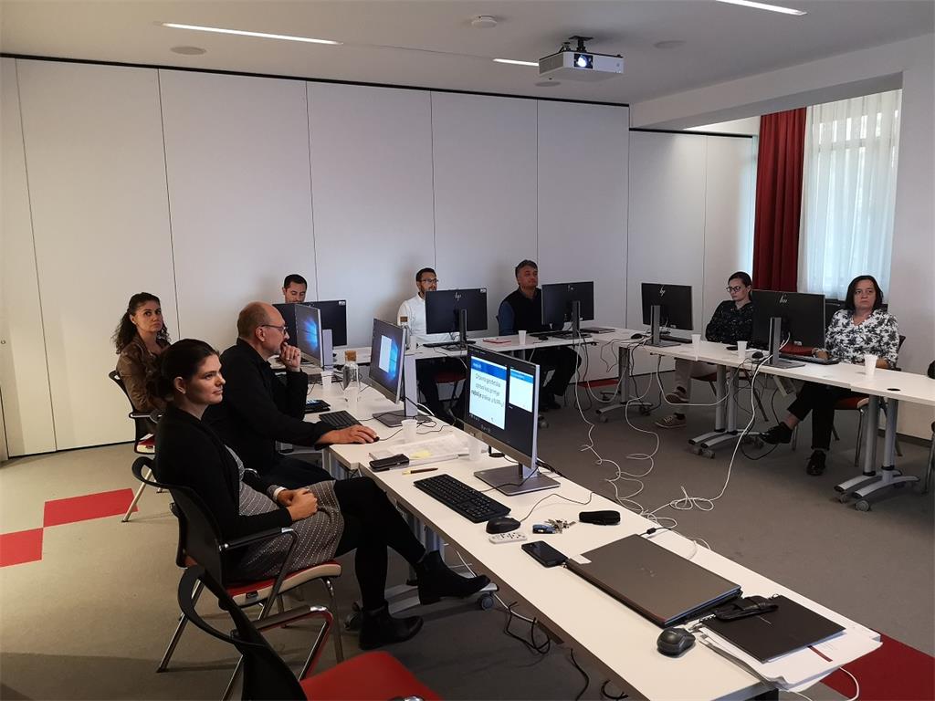
Thus, the first part dealt with the quality improvement through submitting new spatial data sources, while the second part focused on harmonizing data between Register of Spatial Data Sources and the Metadata Catalogue. Workshop participants practically worked on entering new data and controlling existing data so that the developed spatial data sources under the jurisdiction of the State Geodetic Administration are accessible through the Metadata Catalogue and the Register of Spatial Data Sources.
The State Geodetic Administration, as the National Contact Point, continues to work on raising awareness of the quality of reported spatial data sources. On this topic of improving quality of reported spatial data sources, further workshops will be held to continue the successful development of NSDI and in particular the development of spatial data sources that are under the responsibility of the State Geodetic Administration.
| 16th NSDI Worksop Agenda | ||
| TIME | AUTHORS AND PRESENTATION TITLES | FORMAT |
| 10:00–10:10 | Workshop opening | |
| 10:10–11:00 | Tomislav Ciceli: State Geodetic Administration as NSDI subject | |
| 11:00–12:20 | Tanja Rodin: Reporting data from the State Geodetic Administration to NSDI |
|
| 12:20 | Workshop closure | |