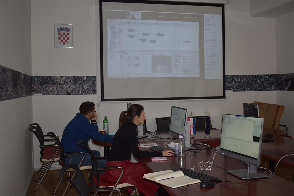
Within the implementation of the project "Increasing the availability of NSDI spatial data through e-services", co-financed by the European Regional Development Fund, the State Geodetic Administration organized the 26th NSDI workshop held in the period 10.-11. March 2021, through the Zoom network platform. This workshop entitled "Education for the purpose of data harmonization using FME" was intended for selected NSDI subjects and employees of the State Geodetic Administration.

The main purpose of the 26th NSDI workshop was to introduce and educate participants for work with the FME (Feature Manipulation Engine) software solution, so that after the workshop they can independently harmonize spatial data within their jurisdiction in accordance with INSPIRE models. The final result of this workshop was the creation of GML documents of harmonized data for each institution, which is created in the process of working through FME based on given attributes and their parameters, and associated actions, without actual coding of the GML document.
FME is a data integration platform developed by Safe Software company based in Surrey, Canada. Within the mentioned project, the State Geodetic Administration procured a software solution for data harmonization, which consists of an FME Desktop solution and a server solution. FME Desktop solution configures input data and the workflow, while the server solution performs these processes and enables network sharing and startups to allow the same product to be used by multiple different users using the same data set.
The first day of the workshop on March 10, 2021 was opened by Tanja Rodin, MsC, Head of the NSDI Data Interoperability Department, SGA, followed by an individual presentation of participants by institutions. In this session, training leader Sören Dupke, presented to the participants INSPIRE and its basic features through a series of lectures, and then referred to the INSPIRE data specifications as a basic document for the harmonization of spatial data.

After the presentation of the INSPIRE requirements, the basics of the FME software solution, ie the components of the procured FME Desktop software solution were explained and presented. FME Desktop solution consists of FME Data Inspector and FME Workbench components whose working principle was explained in the continuation of the presentation. FME Data Inspector is an application used to view, visualize and save data in any format supported by FME. Workshop participants were able to use this tool before and after each data transformation, but it was emphasized that this tool can be used in larger transformation projects at any time to review the results obtained. With using this tool, participants had the opportunity to check the geometry of spatial data, their symbolization, attributes, format, scheme and quantity of data, and to correct noticed errors in the input data. FME Workbench is the main part of the FME Desktop software solution that allows to easily create a transformation project through graphical and interactive elements. This application defines and performs all the necessary actions to obtain the final result - GML data file harmonized according to INSPIRE. In order to get this result, leader Sören Dupke demonstrated the basic actions in creating a transformation project through several short examples.
Through the second session, held on March 11, 2021, the participants continued with practical work and development of a transformation project for each institution in the FME Desktop solution. Special attention was paid to the development of mapping tables for each data theme. These tables significantly facilitate the entry of attributes in the FME Attribute Manager, and provide an overview of the performed mappings. An overview of the possibilities of error checking in the transformation project and created GML documents is also given. Finally, the INSPIRE solution for the validation of these documents is presented, available on the INSPIRE Validator, where validation according to INSPIRE spatial data themes is possible.

The workshop was co-financed by the European Regional Development Fund (ERDF), in accordance with the Operational Program "Competitiveness and Cohesion 2014-2020", and within the Grant Agreement KK.02.2.1.01.0016 "Increasing the availability of NSDI spatial data through e-services”.
| 26th NSDI WORKSHOP PROGRAM | ||
| TIME | PRESENTATION TITLE | FORMAT |
| 10.3.2021. (9:00-16:30) | Introduction - program, goals | |
| INSPIRE data models and data mapping in general | ||
| INSPIRE Solution Pack - templates and transformers | ||
| Example of a simple mapping from the theme hydrography | ||
| General information on writing GML using FME and INSPIRE Solution Pack | ||
| Working with user data - the first insight | ||
| 11.3.2021. (9:00-16:30) | Working with user data and creating harmonized GML files | |
