

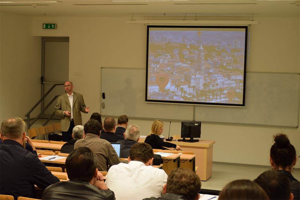
At the opening of the workshop, the attendees were greeted by the Vice Dean for Science, Faculty of Maritime Studies, University of Split, Assist. prof. Hrvoje Dodig, PhD, Ms. Vinka Kolić, Director of the Croatian Hydrographic Institute and Director General of the State Geodetic Administration, Damir Šantek, PhD.

The first part of the workshop started with a lecture entitled “Overview of activities in the National Spatial Data Infrastructure” by Tomislav Ciceli, MSc. In his lecture, he addressed the development and review of NSDI products and emphasized the importance of quality over quantity. In this lecture, particular attention was paid to two projects contributing to the development of NSDI: “Capacity Building for NSDI Establishment” and “Increasing Availability of NSDI Spatial Data through Network Services”.
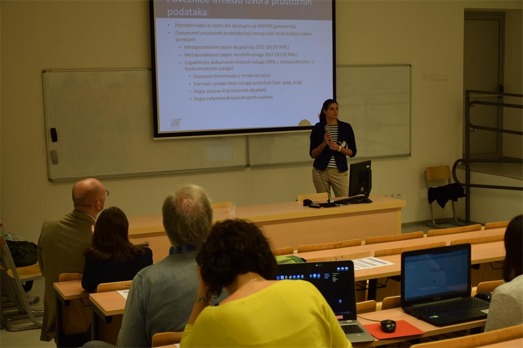
In the second part of the workshop two lectures were held. The first lecture was entitled “Connection between Spatial Data Sources – Data Sets and Services” by Tanja Rodin, MSc. Through practical examples, she demonstrated the importance of links between spatial data sources. In addition, she introduced the INSPIRE Resource linkages checker tool, which is used to check new and existing metadata.
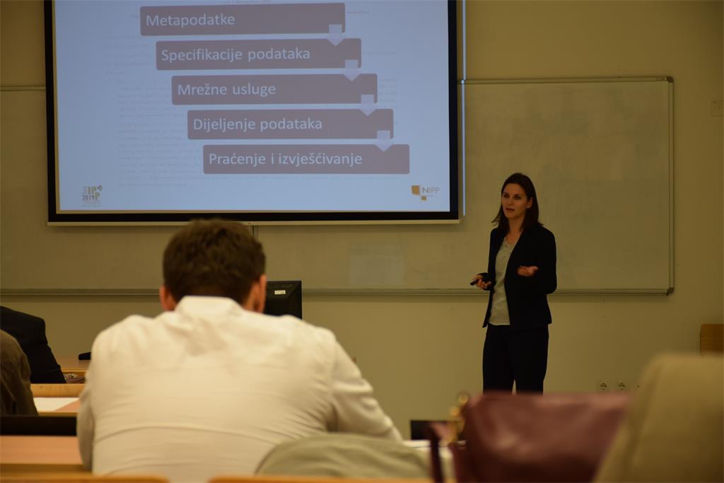
The second lecture entitled “Interoperability of Spatial Data, INSPIRE Validator” was presented by Iva Gašparović, PhD. In her lecture, she outlined the main guidelines through the implementing rules and technical specifications for achieving interoperability. She drew attention to the interoperability indicators and introduced the INSPIRE Validator. INSPIRE Validator is a tool for validating spatial data sources. The practical work with Validator was finally presented where NSDI subjects had the opportunity to test their data, research and correct errors.
| 17th NSDI Workshop agenda | ||
| TIME | AUTHORS AND PRESENTATION TITLES | FORMAT |
| 14:00–14:20 | Workshop opening | |
| 14:20–15:00 | Tomislav Ciceli: Overview of activities in NSDI | |
| 15:00–15:30 | Break | |
| 15:30–16:30 | Tanja Rodin: Connection between spatial data sources | |
| Iva Gašparović: Spatial data interoperability, INSPIRE Validator |
||
| 16:30–17:00 | Workshop closure | |